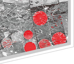
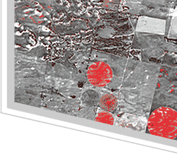
Geo-Alliance is a friendly team of high-qualified remote sensing specialists.
Geo-Alliance is a friendly team of high-qualified remote sensing specialists. Many years experience and knowledge of full range of satellite data allows us to be considered as experts in obtaining, processing and applying of imagery data from Earth remote sensing satellites.
Geo-Alliance is offering:
- Distribution of raw satellite images and PCI Geomatica software for aero photo and satellite data processing;
- Orthorectification, creation of Digital Elevation Models; 3D modeling; GPS survey and other processing of satellite and aerophoto images.
Geo-Alliance is an authorized distributor of data from leading remote sensing satellites such as QuickBird, WordView, SPOT, IKONOS, OrbView, ASTER, LANDSAT, TerraSAR-X etc.
Geo-Alliance business activity covers all territory of Russia and Former Republics of USSR. Our business partners and customers in Russia and Former Republics of USSR: Moscow State University of Geodesy and Cartography, Moscow Aerospace Institute, Federal State Unitary Enterprises, Federal Aerial-Geodetic Enterprises, military units, Private commercial geodetic and cartographic companies, environmental and agriculture planning firms.
Geo-Alliance presents efficient applications of satellite data in different sectors of national economy.
|

